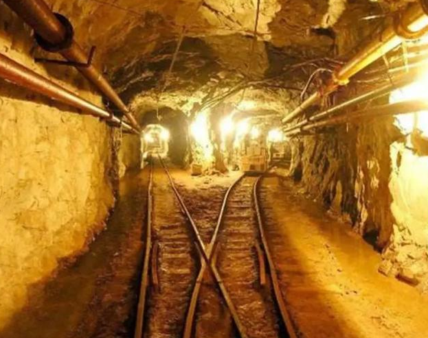
"Digital mine" is based on GIS hardware and software
3.3 Compatibility
Select the software and hardware platform in line with industry standards, based on the modular and modular design idea and development method, provide open GIs system, MS Word, MS Excel and other service interfaces to achieve data interaction. Ensure the application of various business systems.
3.4 Usability
Simple operation, easy to use, friendly user interface, business standard is the fundamental goal of the system construction. Establish a system with complete functions, advanced framework and correct functions, so that the management, use and maintenance of the system and the interface of other systems can achieve convenient and efficient purposes, so that the system can not only run efficiently and independently, but also flexibly integrate, integrate and share information with various spatial databases and other business systems.
3.5 Scalability
The system should have good dynamic and expandable, through the hierarchical and modular design of the system, based on the "soft bus" plug-in technology and component technology application, in the design and implementation, the idea of "software reuse" is implemented, so that the system can effectively adapt to the requirements of business changes, improve the stability of the system, reduce maintenance costs and improve the scalability of the system.
3.6 Security
The system should follow the security principle and set strict access levels, control mechanisms, data encryption, and logging measures to achieve network security, application security, data security, data encryption, data compression, data backup, log management, and electronic signatures to ensure the validity of user permissions for system applications. Ensure that the data is accurate and not destroyed or leaked.
3.7 Fault Tolerance and reliability
The system must have sufficient fault tolerance to ensure the correctness and recovery of data in case of unexpected hardware and software failures, operation errors, etc. At the same time, it should also handle all kinds of program exceptions and operation exceptions well, and give error handling reports.
4. System database design
The database of mine integrated information management system is the core of the function of metal mine integrated information management system. The design of database directly affects the realization and stable operation of the system. At present, there are many kinds of mature large-scale databases, considering the characteristics of multi-source and multi-scale data, this system uses the relational database - SQL server 2000.
Mine comprehensive information mainly includes geology, geophysical exploration, geochemical exploration, drilling, mineral resources, achievements, finance, equipment, human resources, etc., with many data types and large amount of information, database design is a very complicated process. Geographical data has time, space and attribute information at the same time, can not be expressed in the same structure, and also consider the scalability of the system, so in the design of the database to fully consider the future needs, in order to be able to update in time to ensure the real-time database.
Considering the characteristics of mine management and the needs of users, this paper designs a database suitable for this system, which minimizes data redundancy and system resource requirements as much as possible. The mine integrated information management database is composed of multiple table Spaces, and the relationship between each table is established by keywords. Due to space constraints, only some tables of the database are described. Table 1 shows the calculation table of reserves of each block. Table 2 shows the calculation table of sample thickness.
5. System functions
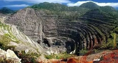
Integrated metal mine information management system to achieve the exploration area, mining area basic information, drilling data profile data, exploration trough, adit data, sample test data, geophysical data, geochemical data, reserve data, measurement data, production data, financial data, equipment data, human resources data management, as well as interested data query, statistics. Maps can also be managed. You can browse, roam, query.
In order to better manage all kinds of mining data, provide decision support for enterprise leaders, and improve the management level of enterprises, the system functions are mainly as follows.
5.1 Multi-subject data entry
Data entry Provides graphical interface and functions of data entry for system administrators and senior system operators (data entry personnel), and is responsible for the storage of various spatial data and attribute data of the system. The data entry function realizes the data acquisition and entry of the original attribute data, vector graph data and raster image data obtained in the process of mine exploration, design, mining and mineral processing. Data can be entered in batches or individually in different types and formats.
5.2 Data Editing
Based on user permissions, the data editing function provides users with read and write operations such as modifying, updating, and deleting data to achieve data management and ensure data accuracy.
- ABB
- General Electric
- EMERSON
- Honeywell
- HIMA
- ALSTOM
- Rolls-Royce
- MOTOROLA
- Rockwell
- Siemens
- Woodward
- YOKOGAWA
- FOXBORO
- KOLLMORGEN
- MOOG
- KB
- YAMAHA
- BENDER
- TEKTRONIX
- Westinghouse
- AMAT
- AB
- XYCOM
- Yaskawa
- B&R
- Schneider
- Kongsberg
- NI
- WATLOW
- ProSoft
- SEW
- ADVANCED
- Reliance
- TRICONEX
- METSO
- MAN
- Advantest
- STUDER
- KONGSBERG
- DANAHER MOTION
- Bently
- Galil
- EATON
- MOLEX
- DEIF
- B&W
- ZYGO
- Aerotech
- DANFOSS
- Beijer
- Moxa
- Rexroth
- Johnson
- WAGO
- TOSHIBA
- BMCM
- SMC
- HITACHI
- HIRSCHMANN
- Application field
- XP POWER
- CTI
- TRICON
- STOBER
- Thinklogical
- Horner Automation
- Meggitt
- Fanuc
- Baldor
- SHINKAWA
- Other Brands


