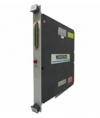
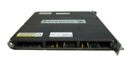
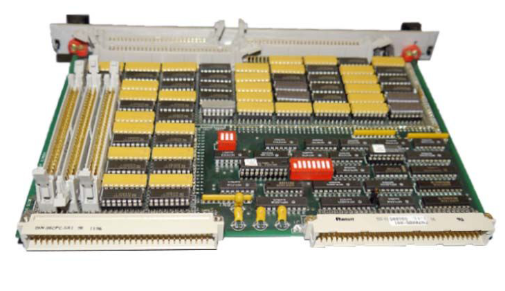
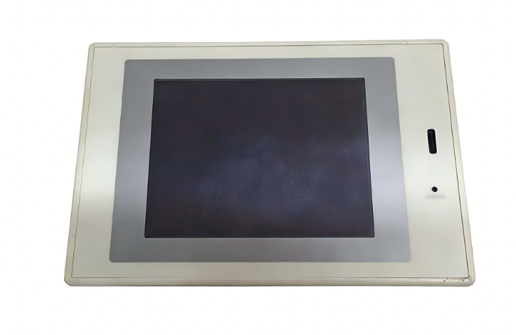
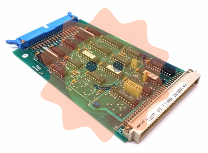
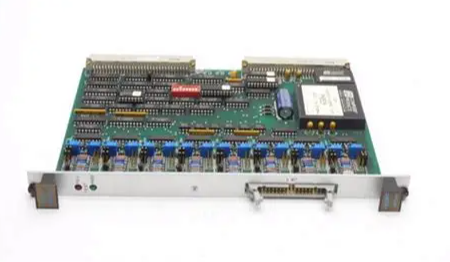
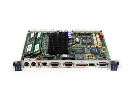
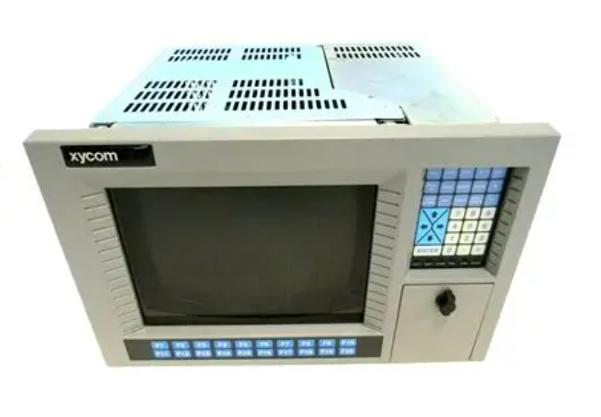
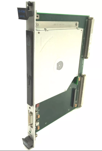
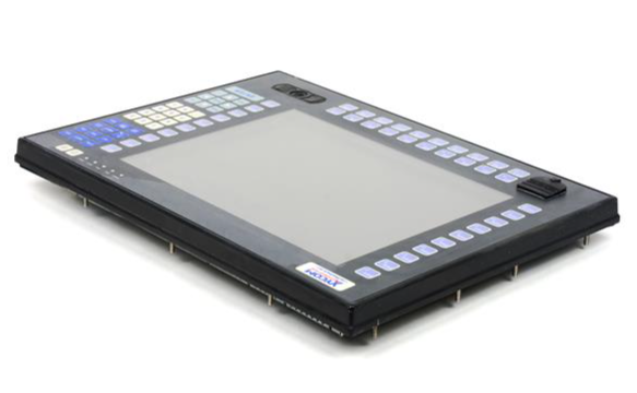
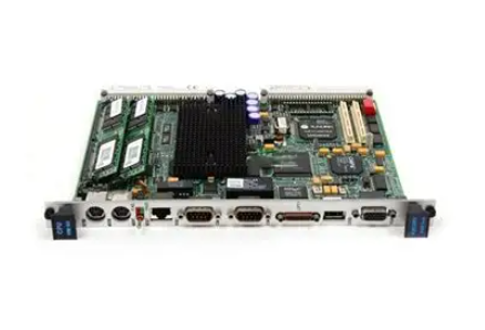
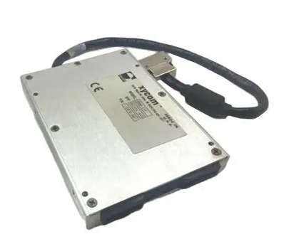
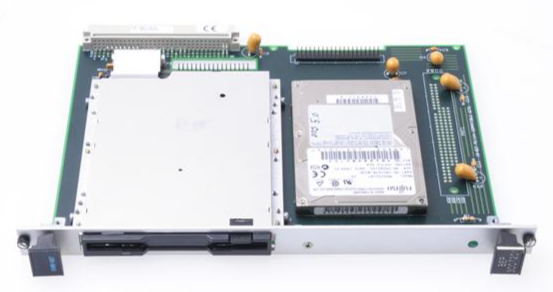
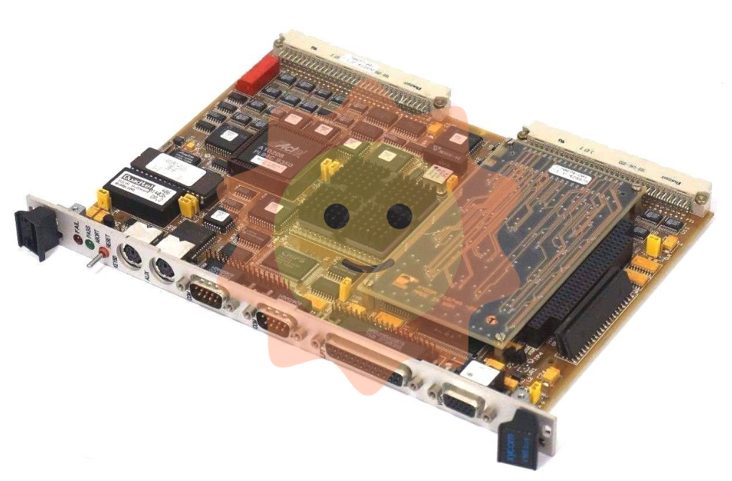
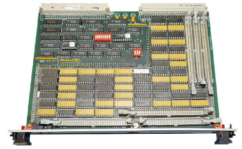
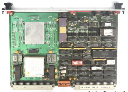
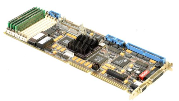
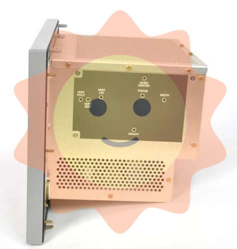
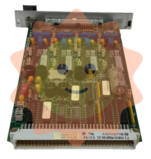
KONGSBERG DPS132 positioning system host navigation ship
KONGSBERG DPS132 positioning system host navigation ship
Technical principles and functional characteristics
High precision positioning mechanism
DPS132 is based on dual frequency GPS signals (L1 and L2 frequency bands), combined with satellite based augmentation systems (SBAS, such as WAAS, EGNOS) and wide area differential correction technology, which can improve positioning accuracy to sub meter level. The system has a built-in lever arm compensation function, which can accurately calculate the positions of multiple measurement points on the ship by integrating the ship's heading information, meeting the needs of multi-sensor fusion.
Redundancy Design and Reliability
The system adopts a two-level redundant control architecture with a fail safe mechanism, which can automatically switch to backup modules when critical components fail, ensuring the continuity of positioning function. Its hardware design meets the high reliability requirements of maritime environments, supports Windows NT4.0 operating system, and has long-term stable operation capability.
Multi mode operation capability
DPS mode: By processing real-time data from sensors such as GPS, gyro compass, sonar, etc., the thruster thrust is dynamically adjusted to counteract external forces such as wind, waves, and currents, enabling the ship to hover at a fixed point or navigate along a preset path.
Navigation mode: Used as a conventional navigation system, it provides basic position, speed, and heading information.
Data visualization and user interface
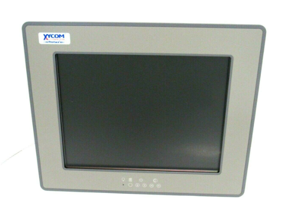
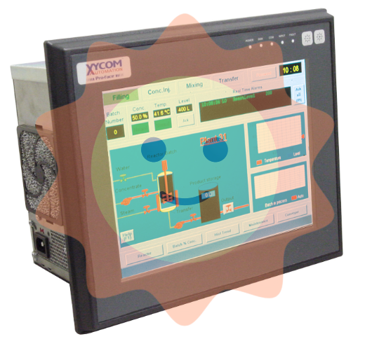
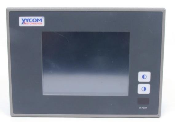
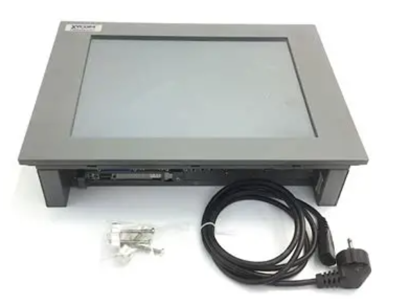
DPS132 can be integrated with KONGSBERG's K-Master comprehensive bridge system, displaying ship status, sensor data, and environmental parameters through a unified graphical interface (such as touch screen), and supporting linkage control with ECDIS, radar, autopilot, and other equipment.
Application scenarios and industry value
Marine engineering operations
In tasks such as deepwater drilling and submarine cable laying, DPS332 can ensure that ships maintain a stable position without anchoring conditions, such as controlling system errors within 0.3 meters in Class II sea conditions. Its precise positioning ability significantly improves operational efficiency and reduces the time and cost consumption of traditional anchoring methods.
Scientific expedition and deep-sea exploration
Research vessels such as the "Exploration 2" are equipped with a DP2 level dynamic positioning system (similar to DPS132 technology), which can support the deployment and recovery of manned submersibles and precise operation of deep-sea observation equipment in complex sea conditions. The low noise characteristics of DPS332 (electric propulsion design) can also provide a stable working environment for underwater acoustic equipment and improve data acquisition quality.
Port and narrow water operations
The automatic tracking and heading control functions of DPS332 can assist crew members in dealing with complex steering and obstacle avoidance needs in entering and exiting ports or congested waterways, reducing human operational risks.
Industry standards and certifications
Although specific certification information was not explicitly mentioned in the search results, KONGSBERG, as a global maritime technology leader, typically meets the Dynamic Positioning (DP) standards of the International Maritime Organization (IMO) (such as DP-2 or DP-3) and has been certified by authoritative organizations such as DNV GL. For example, the DP2 level system of "Exploration 2" reflects the practical application of KONGSBERG technology in the field of scientific research ships.
Core technical parameters
positioning accuracy
Horizontal accuracy: With the support of SBAS (Satellite Based Augmentation System), the typical value is * *<1 meter * * (RMS); Combined with wide area differential correction technology, it can be upgraded to sub meter level (0.3-0.5 meters).
Vertical accuracy: * *<2 meters * * in SBAS mode, and can be optimized to 1-1.5 meters in dual frequency GPS mode.
Dynamic response: The system delay is less than 100ms, meeting the real-time control requirements of the ship.
Navigation sensor compatibility
Support multi-sensor fusion: GPS (L1/L2 dual frequency), gyro compass, MRU (motion reference unit), sonar, etc.
Built in Lever Arm compensation function, which can access ship heading information and calculate the positions of multiple measurement points on board.
Differential correction support
Compatible with DGPS (Wide Area Differential), SBAS (such as WAAS, EGNOS), and UHF link differential (for offshore loading scenarios).
Physical and environmental parameters
Hardware configuration
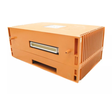
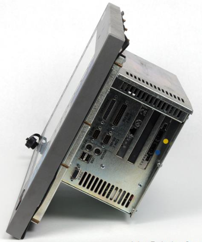
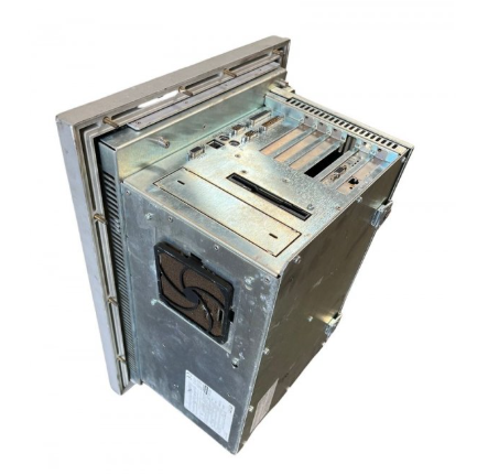
Host unit: 4U standard rack mounted design, weighing approximately 15-20kg (referring to similar maritime equipment).
Interface type:
Communication interface: RS-422/485, Ethernet (supporting NMEA 0183/2000 protocol).
Sensor interfaces: gyro compass (such as KONGSBERG HUGIN), MRU, sonar (such as HIPAP 500).
Power requirements:
Input: 220-240V AC, 50/60Hz, power consumption * * ≤ 500W * * (including redundant modules).
Backup power supply: Supports DC 24V (optional UPS).
- ABB
- General Electric
- EMERSON
- Honeywell
- HIMA
- ALSTOM
- Rolls-Royce
- MOTOROLA
- Rockwell
- Siemens
- Woodward
- YOKOGAWA
- FOXBORO
- KOLLMORGEN
- MOOG
- KB
- YAMAHA
- BENDER
- TEKTRONIX
- Westinghouse
- AMAT
- AB
- XYCOM
- Yaskawa
- B&R
- Schneider
- Kongsberg
- NI
- WATLOW
- ProSoft
- SEW
- ADVANCED
- Reliance
- TRICONEX
- METSO
- MAN
- Advantest
- STUDER
- KONGSBERG
- DANAHER MOTION
- Bently
- Galil
- EATON
- MOLEX
- Triconex
- DEIF
- B&W
- ZYGO
- Aerotech
- DANFOSS
- Beijer
- Moxa
- Rexroth
- Johnson
- WAGO
- TOSHIBA
- BMCM
- SMC
- HITACHI
- HIRSCHMANN
- Application field
- XP POWER
- CTI
- TRICON
- STOBER
- Thinklogical
- Horner Automation
- Meggitt
- Fanuc


